1
/
of
3
My Store
MFE71A Dingle Peninsula Superwalker Map
MFE71A Dingle Peninsula Superwalker Map
Regular price
$10.85 USD
Regular price
$12.00 USD
Sale price
$10.85 USD
Shipping calculated at checkout.
Quantity
Couldn't load pickup availability
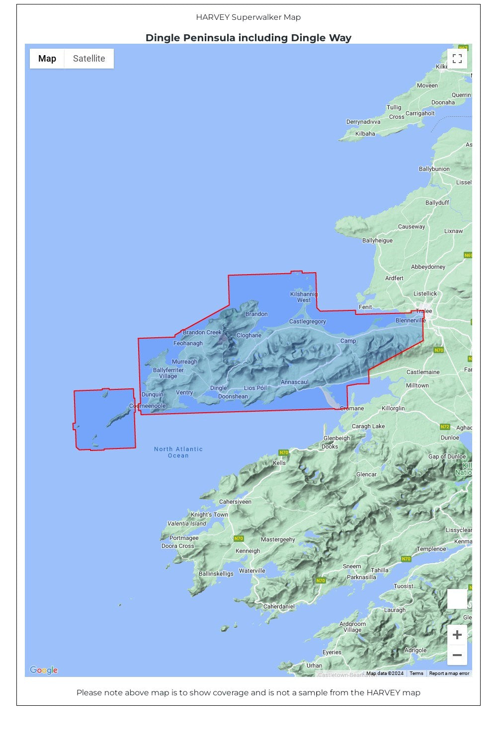
Dingle Peninsula including Dingle Way Superwalker Map. The whole of the Dingle Peninsula on one lightweight, waterproof map at the popular 1:30,000 scale.
Includes Mount Brandon and the entire Brandon Group of mountains in the west of the Peninsula.
To the east, the Slieve Mish mountains are also shown.
The map also shows the Dingle Way - a 179km long distance walking route around the edge of the Peninsula that starts and finishes in Tralee. The route is highlighted in red.
The Blasket Islands are also shown at 1:50,000 scale. Popular for day trips, these uninhabited islands are the most westerly point of Europe.
Placenames in English and Gaeilge / Gaelic.
Archaeological sites and walls and fences in farmland are clearly marked.
• Tough, light, durable and 100% waterproof
• Genuine, original, HARVEY mapping
• Opens directly to either side of the sheet
• Easy to re-fold
Technical Specification
• Scale: 1:30,000
• Ratio: 3.33cm = 1km
• Flat size: 1392 x 486mm
• Folded size: 116 x 243mm
• Weight: 60gms
• Area of mapping: 1074sqkm
• Double sided
Share