1
/
of
3
My Store
MD1E3C St Oswald's Way Trail Map
MD1E3C St Oswald's Way Trail Map
Regular price
$11.17 USD
Regular price
$14.00 USD
Sale price
$11.17 USD
Shipping calculated at checkout.
Quantity
Couldn't load pickup availability
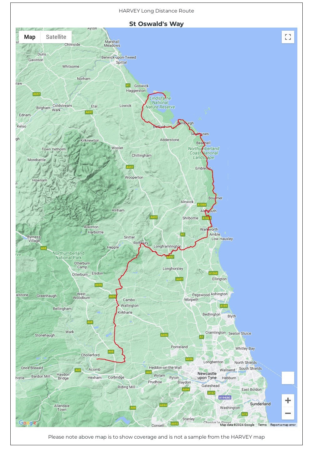
Entire route on one map
From Holy Island to Heavenfield, the 156km (97 miles) St Oswald's Way links some of the places associated with St Oswald who was the King of Northumbria in the early 7th century.
The route runs through the Northumbria National Park following the stunning Northumberland Coast before heading inland across beautiful countryside to Heavenfield. It links with St Cuthbert's Way in the north and Hadrian's Wall Path in the south.
Along the way you will encounter rolling farmland, villages, vast sandy beaches and fascinating history.
• Tough, light, durable and 100% waterproof
• Includes Rights of Way
• Genuine original HARVEY mapping
• Route clearly marked
• The map is conveniently laid out in panels so you only carry the mapping you need
Technical Specification
• Scale: 1:40,000
• Ratio: 2.5cm = 1km
• Flat size: 486 x 696mm
• Folded size: 116 x 243mm
• Weight: 48gms
• Double sided
• Format: strip map
Share