1
/
of
3
My Store
MBF25C South West Coast Path 2 Trail Map
MBF25C South West Coast Path 2 Trail Map
Regular price
$11.17 USD
Regular price
$13.00 USD
Sale price
$11.17 USD
Shipping calculated at checkout.
Quantity
Couldn't load pickup availability
South West Coast Path 2, St Ives to Plymouth Trail Map. The South West Coast Path is one Britain’s most popular National Trails. It runs along the coast of Somerset, Cornwall, Devon, and Dorset from Minehead round via Land's End to Poole in Dorset. It includes all 95 miles of the World Heritage site known as the Jurassic Coast.
3 HARVEY maps cover the whole 1013km (630 miles) route. Each map covers a section of the Path suitable for about 2 weeks of walking.
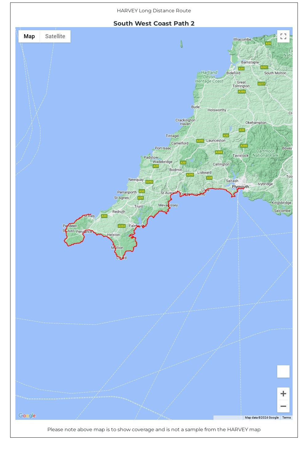
Map 2 covers the Path from St Ives to Plymouth.
• Tough, light, durable and 100% waterproof
• Includes Rights of Way
• Genuine original HARVEY mapping
• Route clearly marked
• The map is conveniently laid out in panels so you only carry the mapping you need
Technical Specification
• Scale: 1:40,000
• Ratio: 2.5cm = 1km
• Flat size: 1392 x 486mm
• Folded size: 116 x 243mm
• Weight: 60gms
• Double sided
• Format: strip map
3 HARVEY maps cover the whole 1013km (630 miles) route. Each map covers a section of the Path suitable for about 2 weeks of walking.
Map 2 covers the Path from St Ives to Plymouth.
• Tough, light, durable and 100% waterproof
• Includes Rights of Way
• Genuine original HARVEY mapping
• Route clearly marked
• The map is conveniently laid out in panels so you only carry the mapping you need
Technical Specification
• Scale: 1:40,000
• Ratio: 2.5cm = 1km
• Flat size: 1392 x 486mm
• Folded size: 116 x 243mm
• Weight: 60gms
• Double sided
• Format: strip map
Share