1
/
of
3
My Store
MB7ECC Ben Nevis Superwalker Map
Regular price
$10.85 USD
Regular price
$14.00 USD
Sale price
$10.85 USD
Shipping calculated at checkout.
Quantity
Couldn't load pickup availability
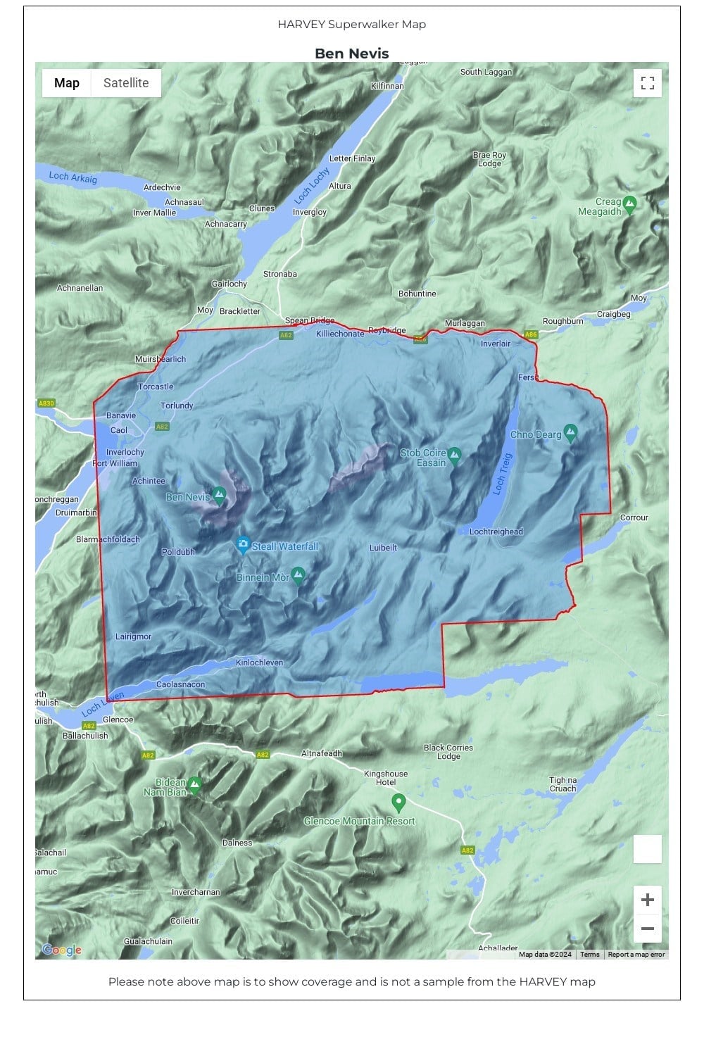
Detailed map for hillwalkers of Ben Nevis, the Grey Corries and the Mamores at the popular 1:25,000 scale. It includes Fort William, Spean Bridge and Kinlochleven.
Enlargement of the summit of Ben Nevis at 1:12,500 showing the bad visibility descent route.
As used by Lochaber Mountain Rescue Team.
Includes 23 Munros and 6 Corbetts.
• Tough, light, durable and 100% waterproof
• Genuine, original, HARVEY mapping
• Opens directly to either side of the sheet
• Easy to re-fold
Technical Specification
• Scale: 1:25,000
• Ratio: 4cm = 1km
• Flat size: 1276 x 486mm
• Folded size: 116 x 243mm
• Weight: 60gms
• Area of mapping: 575sqkm
• Double sided
Share
