1
/
of
3
My Store
MA0646 Wales Coast Path 3 Trail Map
MA0646 Wales Coast Path 3 Trail Map
Regular price
$12.25 USD
Regular price
$16.00 USD
Sale price
$12.25 USD
Shipping calculated at checkout.
Quantity
Couldn't load pickup availability
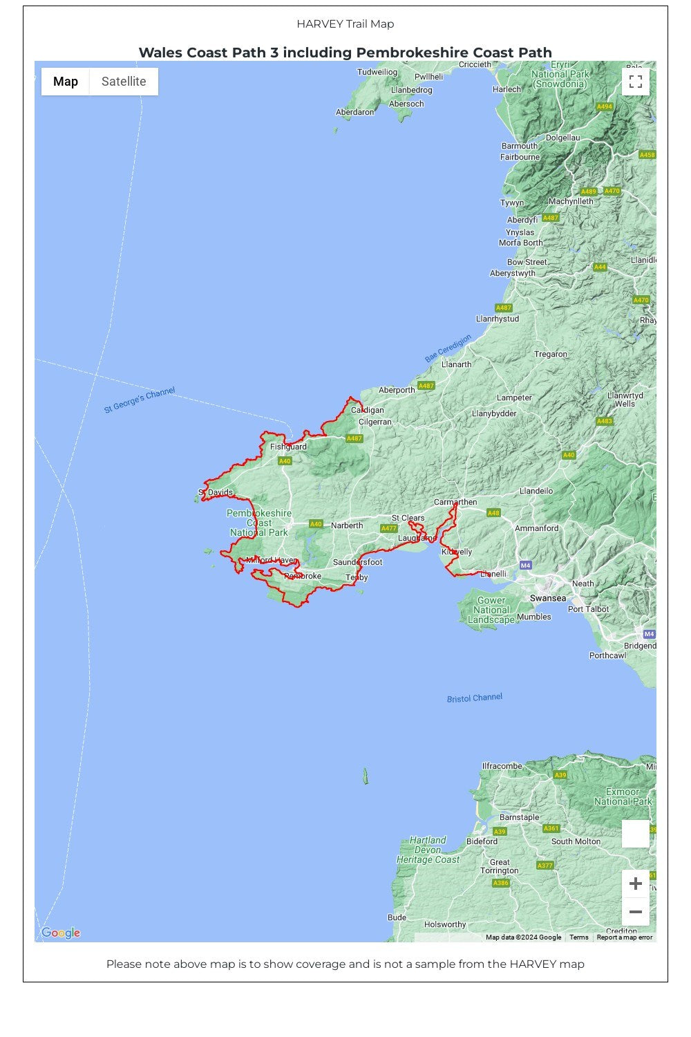
Wales Coast Path map 3 including the Pembrokeshire Coast Path National Trail.
The Wales Coast Path is a 1400km (870 miles) long distance trail that follows, or runs close to, the entire coastline of Wales. It is an incredibly varied trail that offers rugged and unspoilt walking, colourful seaside villages, industrial archaeology, clifftops, beaches and unique heritage sites.
4 HARVEY maps cover the whole of the route (Maps 1 and 4 will be available May 2023). Each map covers a section of the Path suitable for about 2 weeks of walking.
Map 3 covers the Path from Cardigan to Llanelli, and includes the whole of the Pembrokeshire Coast Path National Trail (St Dogmaels to Amroth).
The Pembrokeshire Coast Path remains a National Trail in its own right, and this map covers the entirety of this route as well as the Wales Coast Path further east to Llanelli. You will walk through some of the most beautiful parts of Wales, encountering stunning clifftop scenery, sandy beaches and rugged coastline.
• Tough, light, durable and 100% waterproof
• Includes Rights of Way
• Genuine original HARVEY mapping
• Route clearly marked
• The map is conveniently laid out in panels so you only carry the mapping you need
Technical Specification
• Scale: 1:40,000
• Ratio: 2.5cm = 1km
• Flat size: 696 x 486mm
• Folded size: 116 x 243mm
• Weight: 50gms
• Double sided
• Format: strip map
Share