1
/
of
3
My Store
M90F67 Wales Coast Path 4 Trail Map
M90F67 Wales Coast Path 4 Trail Map
Regular price
$12.25 USD
Regular price
$14.00 USD
Sale price
$12.25 USD
Shipping calculated at checkout.
Quantity
Couldn't load pickup availability
Wales Coast Path map 4 including the whole of the Gower Pensinsula.
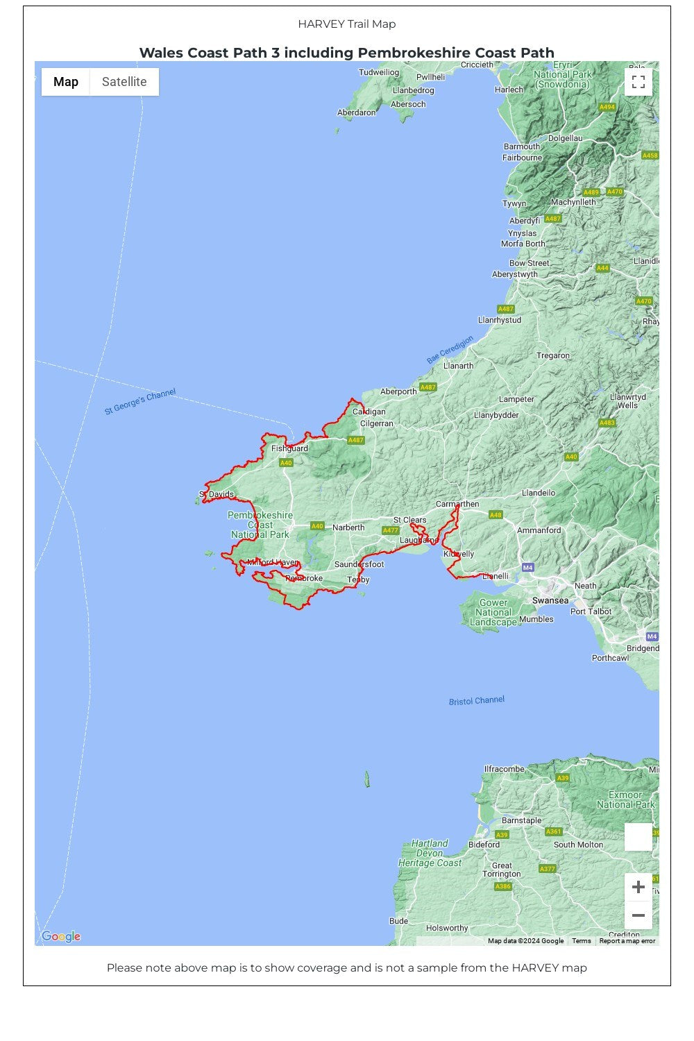
The Wales Coast Path is a 1400km (870 miles) long distance trail that follows, or runs close to, the entire coastline of Wales. It is an incredibly varied trail that offers rugged and unspoilt walking, colourful seaside villages, industrial archaeology, clifftops, beaches and unique heritage sites.
4 HARVEY maps cover the whole of the route. Each map covers a section of the Path suitable for about 2 weeks of walking.
Map 4 covers the Path from Llanelli to the finish (or start) in Chepstow, and includes the whole of the picturesque and popular Gower Peninsula.
Famous for its rugged coastline, cliffs and beautiful sandy beaches, the Gower Peninsula is popular with walkers in its own right. It lies to the west of Swansea. Heading eastwards along the South Wales coast, you will pass through the country's capital city, Cardiff, before finishing your journey at the estuary of the River Severn near Chepstow.
• Tough, light, durable and 100% waterproof
• Includes Rights of Way
• Genuine original HARVEY mapping
• Route clearly marked
• The map is conveniently laid out in panels so you only carry the mapping you need
Technical Specification
• Scale: 1:40,000
• Ratio: 2.5cm = 1km
• Flat size: 696 x 486mm
• Folded size: 116 x 243mm
• Weight: 50gms
• Double sided
• Format: strip map
Share