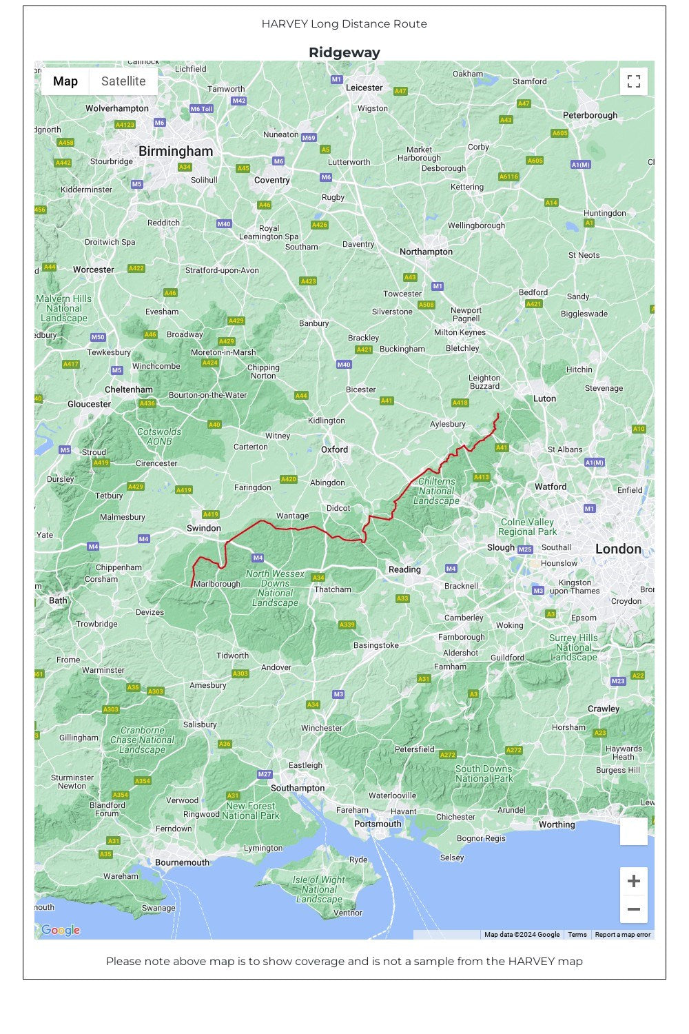
From Overton Hill near Avebury in Wiltshire to Ivinghoe Beacon, east of Tring in Hertfordshire 137km (85 miles).
• Tough, light, durable and 100% waterproof • Includes Rights of Way • Genuine original HARVEY mapping • Route clearly marked • The map is conveniently laid out in panels so you only carry the mapping you need