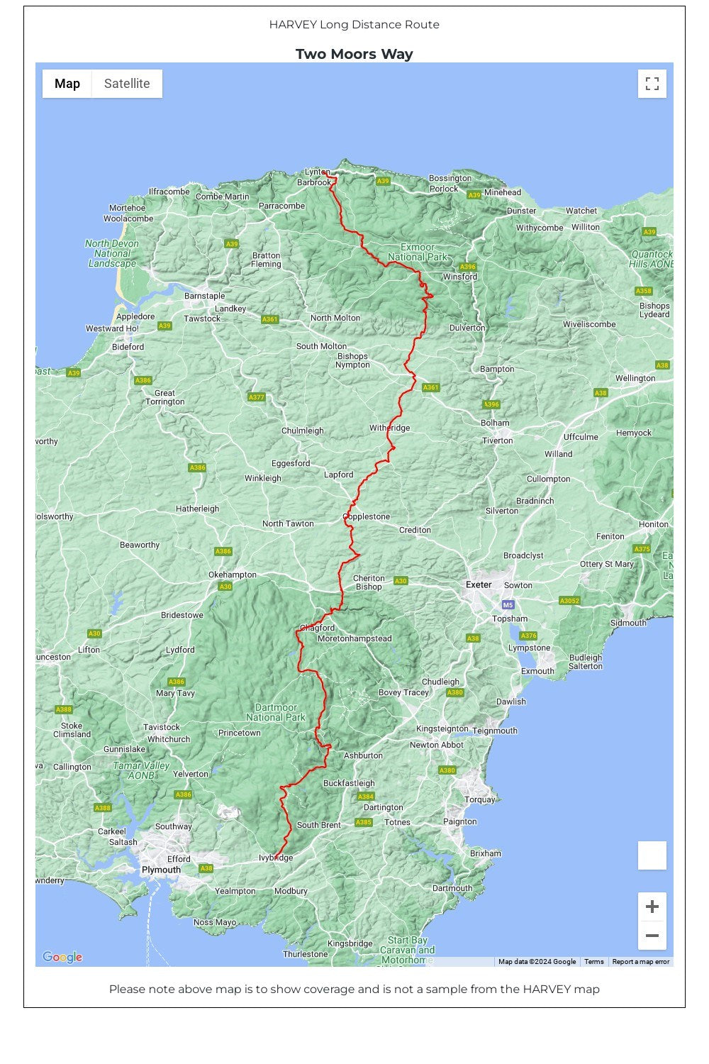
The Two Moors Way is a long-distance walking route between Ivybridge on the southern edge of Dartmoor and Lynmouth on the north coast of Exmoor.
It has a total length of 163km (102 miles), making it an ideal week's walk.
The Way links Dartmoor and Exmoor National Parks and passes through varied terrain: high moorland, wooded valleys, and unspoilt rural scenery with a remote and tranquil feel.
• Tough, light, durable and 100% waterproof • Includes Rights of Way • Genuine original HARVEY mapping • Route clearly marked • The map is conveniently laid out in panels so you only carry the mapping you need