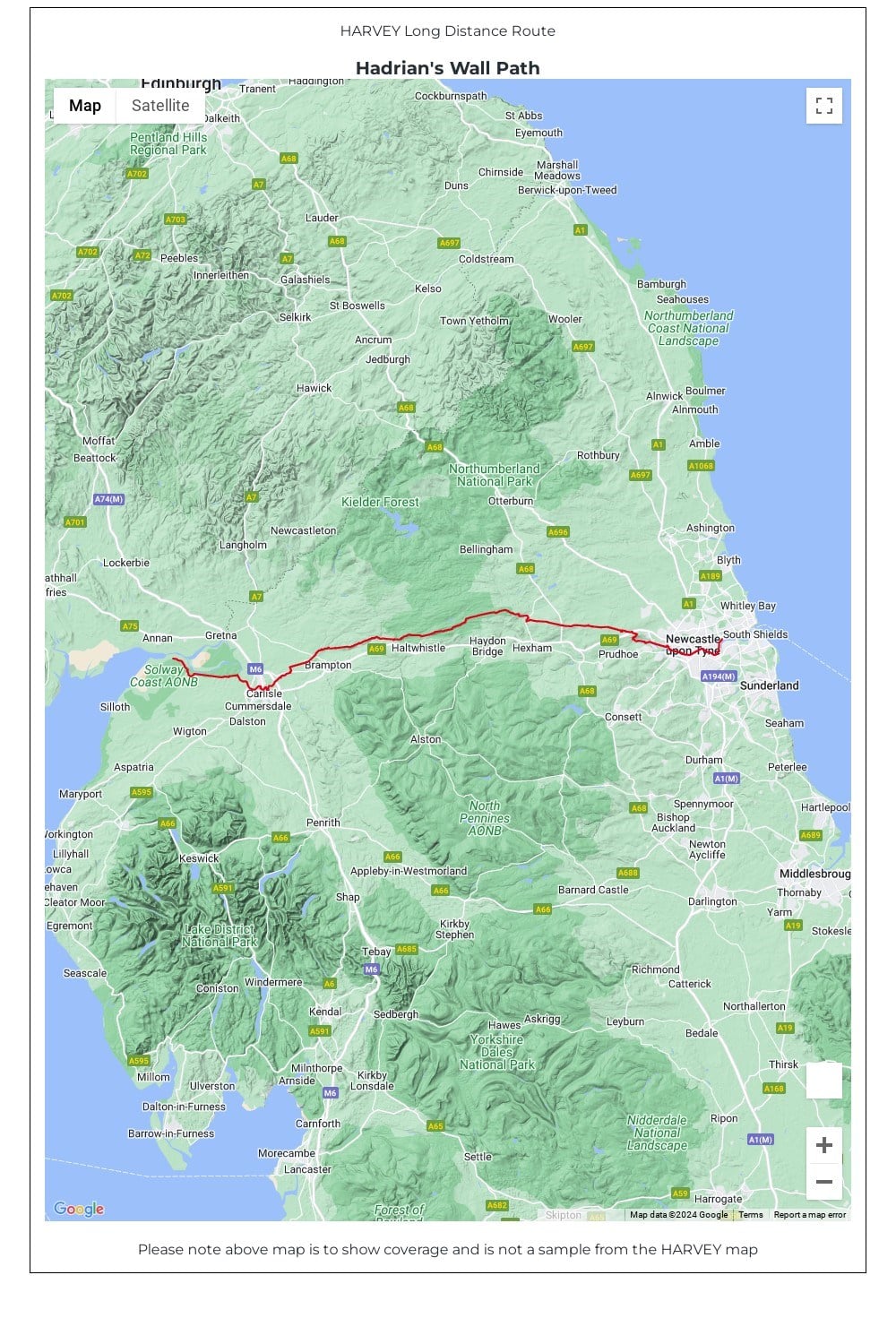
Hadrian’s Wall Path is a National Trail and runs 135km (84 miles) from the Solway Coast to Newcastle.
The sites of Roman remains are marked on the map, with an enlargement of Housesteads.
• Tough, light, durable and 100% waterproof • Includes Rights of Way • Genuine original HARVEY mapping • Route clearly marked • The map is conveniently laid out in panels so you only carry the mapping you need