1
/
of
3
My Store
M30A2F East Highland Way Trail Map
M30A2F East Highland Way Trail Map
Regular price
$11.17 USD
Regular price
$13.00 USD
Sale price
$11.17 USD
Shipping calculated at checkout.
Quantity
Couldn't load pickup availability
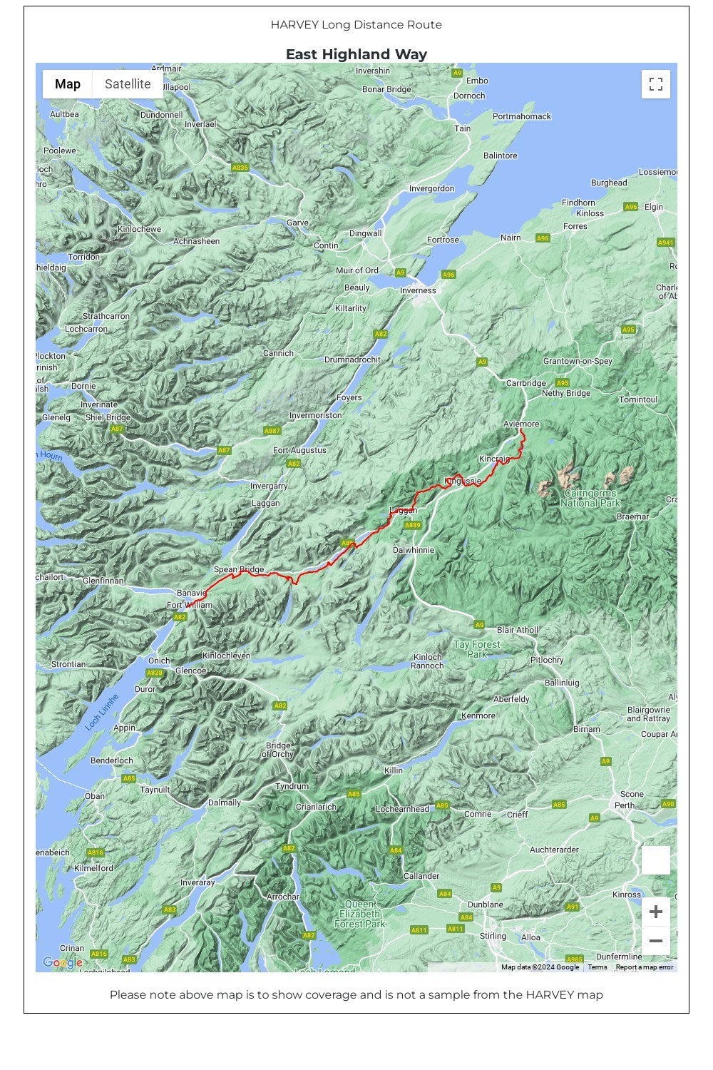
Entire route on one map
The East Highland Way is 132km (82 miles) from Fort William to Aviemore.
The Way forms a new link between the northern end of the West Highland Way and the southern end of the Speyside Way. It also joins the Great Glen Way at Fort William.
The route is tranquil and takes in a varied and wild landscape and includes the ancient Caledonian Forests of Inshriach, loch-side trails and mountain wilderness. Access to accommodation has been carefully considered wherever possible, making this route accessible to walkers of all abilities.
• Tough, light, durable and 100% waterproof
• Genuine original HARVEY mapping
• Route clearly marked
• The map is conveniently laid out in panels so you only carry the mapping you need
Technical Specification
• Scale: 1:40,000
• Ratio: 2.5cm = 1km
• Flat size: 580 x 486mm
• Folded size: 116 x 243mm
• Weight: 33gms
• Double sided
• Format: strip map
Share