1
/
of
3
My Store
M07543 Pennine Bridleway Trail Map
M07543 Pennine Bridleway Trail Map
Regular price
$12.25 USD
Regular price
$13.00 USD
Sale price
$12.25 USD
Shipping calculated at checkout.
Quantity
Couldn't load pickup availability
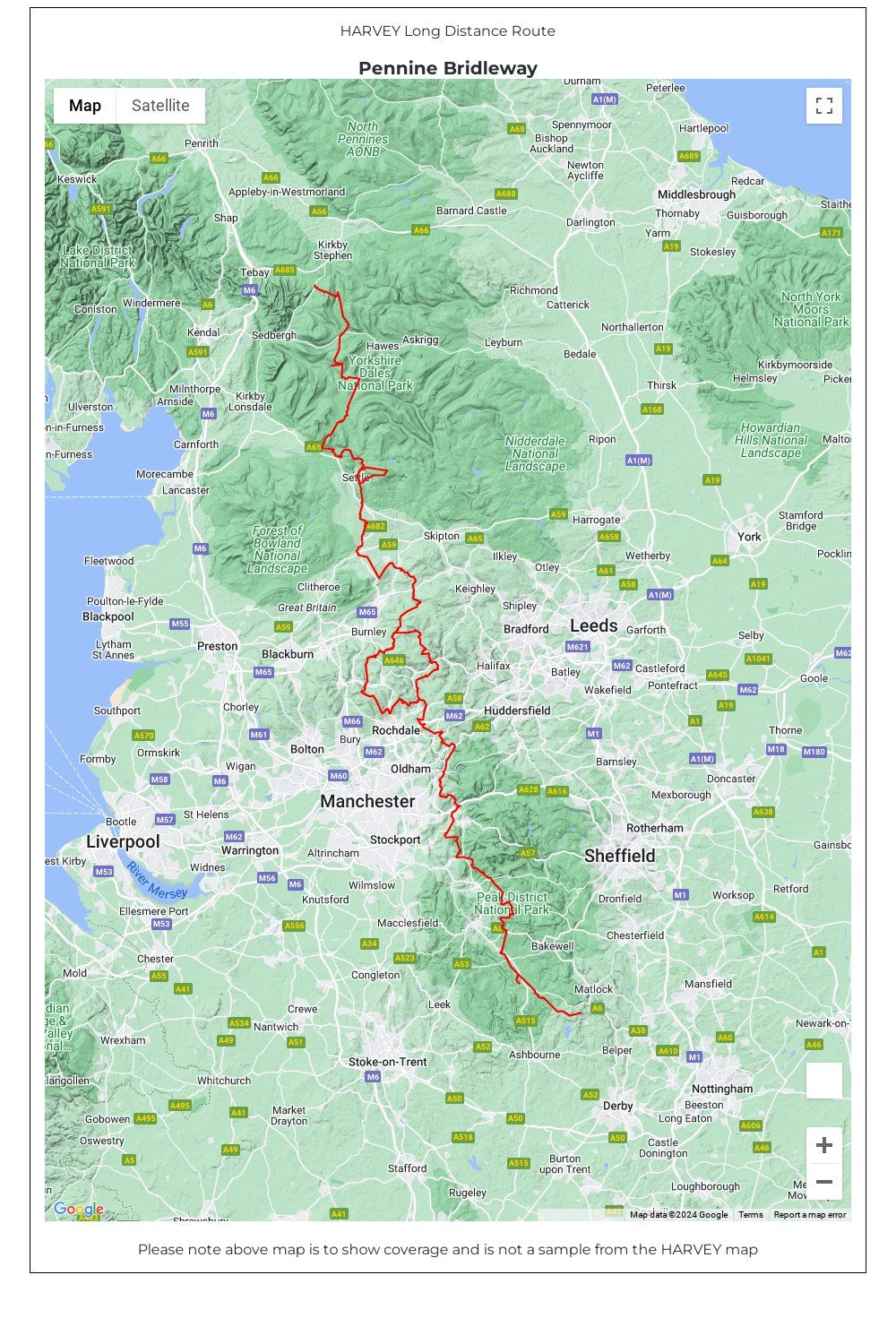
Entire route on one map - 330km (205 miles)
The Pennine Bridleway is the only National Trail purpose built for horse riders, mountain bikers and walkers. This map covers the entire route from Derbyshire to Cumbria - Middleton Top to Ravenstonedale.
The Trail for mountain bikers starts at Middleton Top near Matlock whereas horse riders can join at Hartington Station. The Trail intersects the limestone plateau of the White Peak, winding through scenic dales before climbing to the more challenging terrain of the Dark Peak. Moving north, from the top of the Mary Towneley Loop, the Trail heads across the hills into the Ribble Valley before reaching the stunning limestone landscape of the Yorkshire Dales and the Settle Loop.
The route continues through the Mallerstang valley before finishing in the village of Ravenstonedale in Cumbria.
Though the route is particularly designed for use by horse riders and cyclists, it can be used by walkers too. The map gives useful information on accommodation, planning, horsebox parking, places to visit, and so forth.
• Tough, light, durable and 100% waterproof
• Includes Rights of Way
• Genuine original HARVEY mapping
• Route clearly marked
• The map is conveniently laid out in panels so you only carry the mapping you need
Technical Specification
• Scale: 1:40,000
• Ratio: 2.5cm = 1km
• Flat size: 1392 x 486
• Folded size: 116 x 243mm
• Weight: 62gms
• Double sided
• Format: strip map
Share