1
/
of
3
My Store
M00312 Pennine Way North Trail Map
M00312 Pennine Way North Trail Map
Regular price
$12.25 USD
Regular price
$14.00 USD
Sale price
$12.25 USD
Shipping calculated at checkout.
Quantity
Couldn't load pickup availability
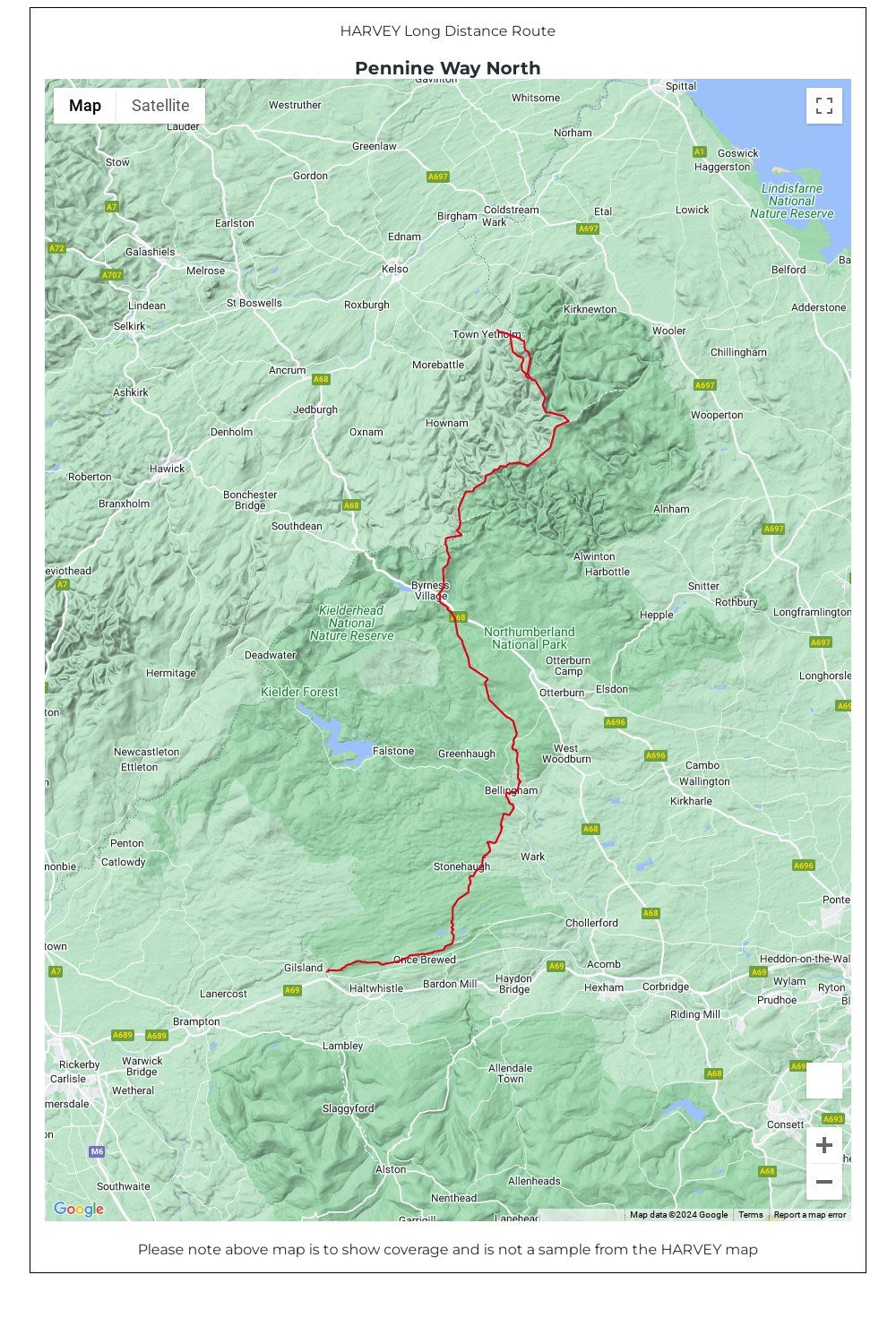
Pennine Way North, Middleton-in-Teesdale to Kirk Yetholm Trail Map. Pennine Way North map covers the route from Middleton-in-Teesdale to Kirk Yetholm.
The Pennine Way is a National Trail. It follows the backbone of England from the Peak District to the Scottish borders. It is one of the toughest UK long distance footpaths, and forms part of the European Footpath Network.
The Pennine Way was Britain's first National Trail, opened in 1965.
Just 2 HARVEY maps cover the whole 431km (268 miles) route. Each starts and finishes near public transport, so no hassle with getting lifts.
Each map also contains lots of information and useful telephone numbers to assist the walker with planning.
• Tough, light, durable and 100% waterproof
• Includes Rights of Way
• Genuine original HARVEY mapping
• Route clearly marked
• The map is conveniently laid out in panels so you only carry the mapping you need
Technical Specification
• Scale: 1:40,000
• Ratio: 2.5cm = 1km
• Flat size: 928 x 486mm
• Folded size: 116 x 243mm
• Weight: 40gms
• Double sided
• Format: strip map
Share